Select a region


The promenade at Havre des Pas could be widened as part of a project to protect residents from future flooding, with ocean levels expected to rise significantly in the coming years.
In a new report, the Government has suggested either building new defences further out to sea to provide a wider promenade with more cycle routes or extending the height of existing sea walls.
The first option would mitigate flood risks while promoting "community well-being" and supporting "economic regeneration" in the area by creating new amenity space, according to the Government.
These potential anti-flooding measures were set out in a report shared with residents and business owners in the area last week.
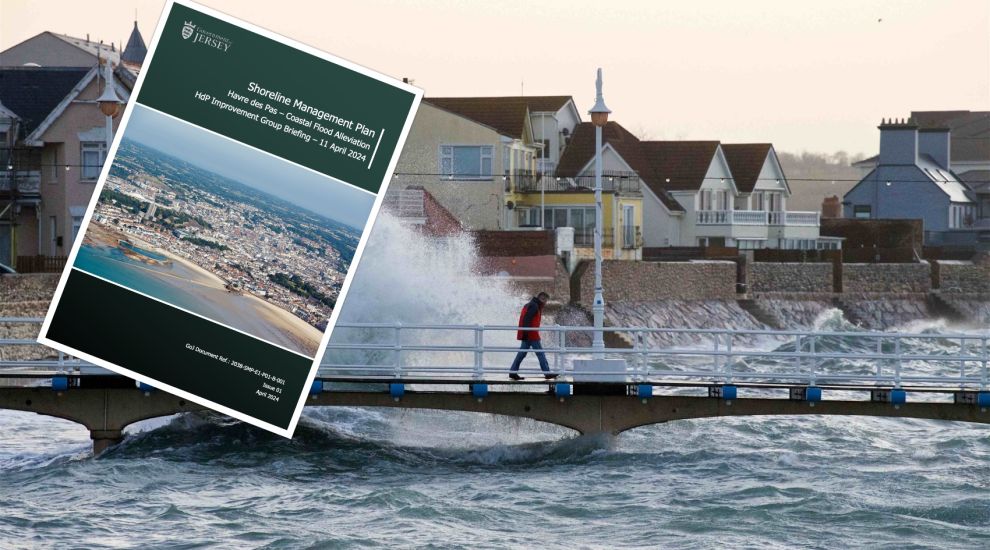
Pictured: Potential anti-flooding measures were set out in a report shared with Havre des Pas residents and business owners in the area last week.
The Coastal Flood Alleviation report said that construction work is currently planned to start in 2028 and will take approximately five years to complete – with provisional funding allocated in the 2025 Government Plan.
A phased approach will used to reduce disruption, according to the report, with much of the work carried out from the coastal side of Havre des Pas.
The need for such flood protection measures arises from identifying Havre des Pas as a vulnerable area in the Government's Shoreline Management Plan.
This extensive document aims to ensure that coastal defences protect the island over the next century.
Since the publication of the report, initial assessments have been carried out to determine the scope of future measures.
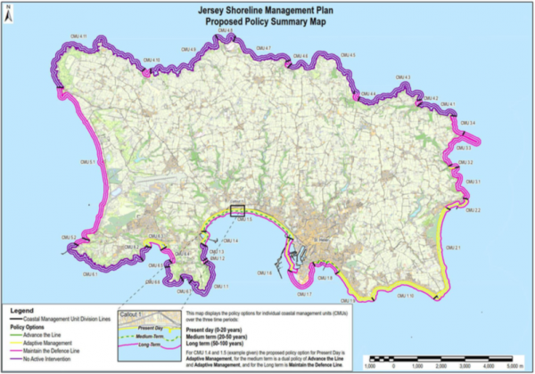
Pictured: The Shoreline Management Plan lays out a century-long plan to strengthen Jersey's sea defences.
Elaborating on the specific risks facing the Havre des Pas area, the Shoreline Management Plan explained that houses as far back as Bagot Road could be vulnerable to flooding in the event of a major storm.
The flood risk in the next 50 years is related to wave overtopping during storms and increasing still water levels which would result in the highest tides being larger than the existing coastal defences.
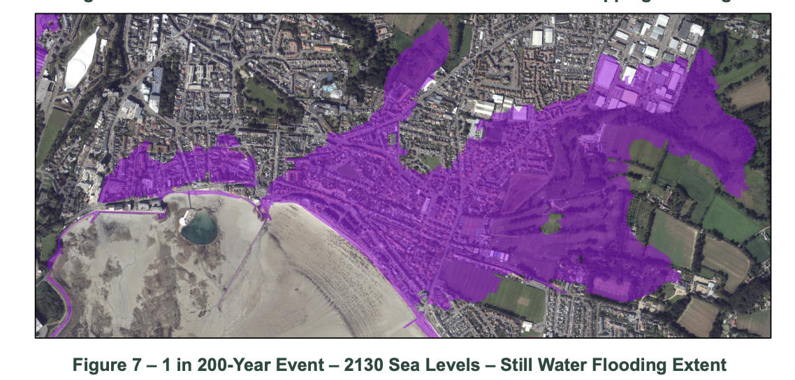
Pictured: The risk posed by still water flooding.
In the Coastal Flood Alleviation report, the Government said community engagement about the proposed works at Havre des Pas will begin in June 2024 with a series of facilitated workshops.
Havre des Pas has undergone significant regeneration in recent years, with Andium developments recently completed at the top and bottom of Green Street – The Limes and La Collette – and the development of the former Fort d'Auvergne Hotel.

Pictured: Havre des Pas café, Hooray Henri’s, is just one example of a recent surge of new businesses in the area.
Plans to build apartments on a private car park that contains around 60 spaces on Green Street have also been recently floated.
There has also been culinary additions to the area, such as The Good Egg, Hooray Henri’s and, more recently, Saffron.
Pictured top: Havre des Pas being battered by waves during a storm in 2020. (Rob Currie)
Drone survey to assess future flood risk at St Aubin
Before the flood: the plan to protect Jersey from rising sea levels
£200m to be spent on sea defences over next century


Comments
Comments on this story express the views of the commentator only, not Bailiwick Publishing. We are unable to guarantee the accuracy of any of those comments.